Mid-October–early November · Mountain autumn colour
The official tourism guide identifies mid-October to early November as the main foliage window. Elevation changes mean different sections colour at different times.
Tourism source ↗A 33-kilometre seasonal toll road linking Shirakawa-go with Hakusan through beech forest, mountain valleys, waterfalls and high viewpoints. It normally operates from early summer into November and closes through winter; stop only in designated parking areas.
Best time to visit: Oct–Nov – Mountain autumn colour · Jun–Sep – Green mountain drive
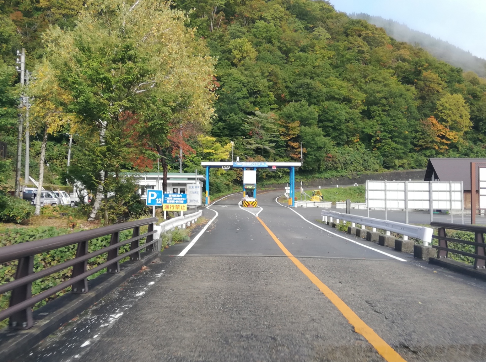
Recorded capture month: Oct · Historical photo, not a live view
AUTUMN · Oct
Weather for your date
Today shows live hourly weather. Future dates show the best available report.
13°C
Partly cloudy
💧 7% rain chance · wind 5 km/h
Hourly forecast
Forecast: Open-Meteo
Packing checklist
Parking
Parking has not been verified for this place.
Search nearby parking ↗Leave the start blank to choose your current location in Google Maps. The pin is an approximate landmark; check the entrance and live services in Maps.
A DIFFERENT JAPAN, EVERY MONTH
Typical viewing windows. Weather and bloom dates vary each year; these are not live forecasts.
The official tourism guide identifies mid-October to early November as the main foliage window. Elevation changes mean different sections colour at different times.
Tourism source ↗Suitability
Stroller: Not verified
Nursing room: Not verified
Noise level: quiet
Kids: Mountain weather changes quickly; supervise children at exposed viewpoints and waterfall paths.
Rules
Fire: no fire
Water access: waterfall
Drones: permit required
Within 30 km, closest first.
Traditional gassho-zukuri farmhouses stand among the fields of Ogimachi village. Walk through the settlement to see the steep thatched roofs and rural landscape.
Hakusan Ichirino Onsen Campsite in Ishikawa, with access, map location and seasonal planning data for international visitors.
One of Japan’s three sacred mountains, approached from Gifu through the Oshirakawa area of Hakusan National Park. The Hirase trail, beech forests, Lake Hakusui and Shiramizu Falls form a remote mountain destination reached by a narrow seasonal road that closes through winter.
Two living UNESCO-listed villages in Nanto where steep-roofed gassho-style farmhouses remain among mountain fields. Ainokura has the larger settlement; Suganuma forms a compact cluster beside the Shogawa valley. Visitors must respect private homes and village traffic rules.
A roughly one-kilometre mountain trail in Takayama linking waterfalls of different sizes through old trees and moss-covered boulders. A lookout opens toward the Hida mountains, while the steep ravine and winter snow require seasonal planning.
A 1.4-kilometre forest climb in Hida Kiyomi passing many small cascades, giant mossy boulders and old beech and oak trees before reaching the 30-metre Okura Falls. Most visitors can reach the main fall in under an hour.
Place information: Official tourism source · Reviewed 2026-09-26