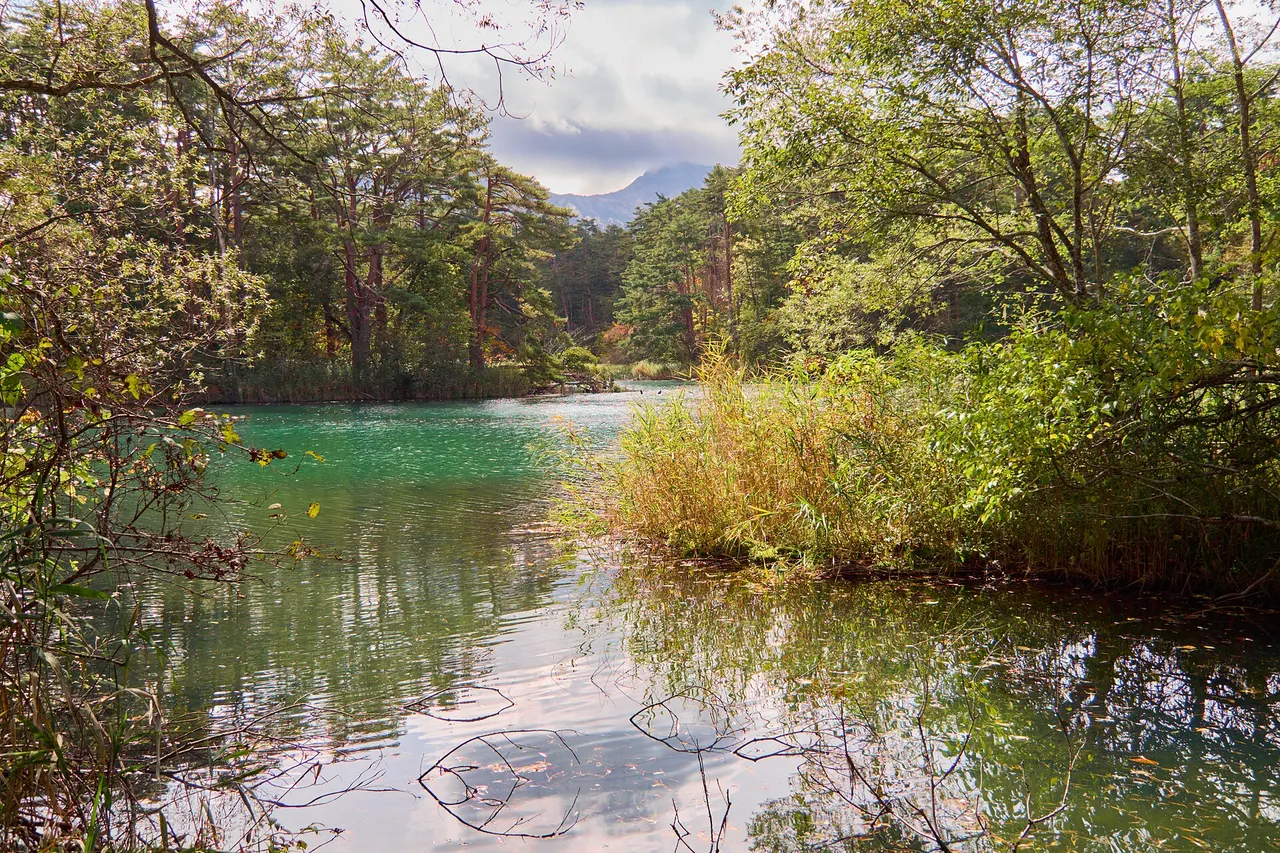
A chain of volcanic ponds in Urabandai whose mineral-rich water appears blue, turquoise, green and reddish brown along a forest trail.
- Parking
- 📍 Navigate in Google Maps ↗Nearby parking2 min walk✓ Free parking📍 Navigate in Google Maps ↗Nearby parking4 min walkℹ Paid · Fee not confirmed (check signs on arrival)🚗 All Nearby Parking & Real-Time Availability🔍 Find Nearby Parking on Map ↗
Before travel or when you arrive, check live space availability and confirmed rates via Google Maps.
- Getting there
- Plan the route from your start ↓ · Open in Google Maps ↗
- Official info
- tohokukanko.jp ↗
Send this place via WhatsApp, X, Facebook, Line, or copy direct link.
Weather for your date
Today shows live hourly weather. Future dates show the best available report.
0°C
Snow
💧 69% rain chance · wind 10 km/h
Hourly forecast
Forecast: Open-Meteo
Getting to Goshikinuma Ponds
🚉Okinashima Station
Approx. 11.8 km from spot
🚌Local Bus or Taxi
Bus ~15-25 min (¥210-¥350) / Taxi ~¥1,500-¥3,000
💳Mobile Suica / IC Cards
IC cards accepted on most local buses
Directions to Goshikinuma Ponds
Leave the start blank to choose your current location in Google Maps. The pin is an approximate landmark; check the entrance and live services in Maps.
When to see this place
Typical viewing windows. Weather and bloom dates vary each year; these are not live forecasts.
No month-specific guide yet for Nov. This does not mean the place is closed.
Suitability
Stroller: Not recommended
Nursing room: Not verified
Noise level: quiet
Kids: The full trail is uneven and snowy in winter; colour varies with light, weather and viewpoint.
Rules
Fire: no fire
Water access: lake
Drones: banned
Nearby places
Within 30 km, closest first.
 Fukushima
Bandai-Azuma Skyline
A seasonal mountain road climbing through volcanic scenery to Jododaira, with high viewpoints and trail access.
 Fukushima
Mount Azuma-kofuji
A volcanic cone with a large round crater beside the Bandai-Azuma Skyline; a short walk leads to the crater rim.
 Yamagata
Namekawa Great Falls
An 80-metre waterfall in the mountains of Yonezawa, one of Japan's Top 100 Waterfalls, reached via Namekawa Onsen.
 Fukushima
Aizu Sazaedo Pagoda
An extraordinary 16.5-meter hexagonal wooden pagoda built in 1796 on Mount Iimori in Aizuwakamatsu. It houses a unique double-helix interior ramp where visitors ascending and descending never cross paths, historically allowing pilgrims to view 33 Kannon statues in a single continuous walk.
 Fukushima
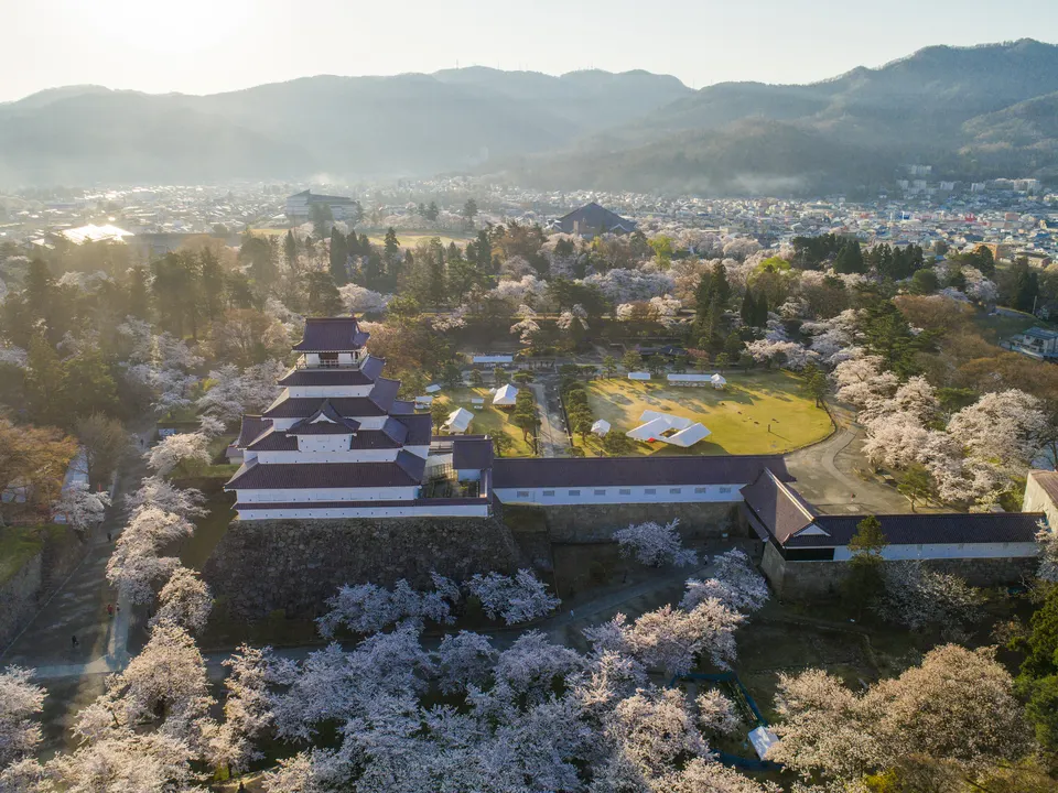
Tsuruga Castle
Aizu-Wakamatsu’s red-tiled castle and museum, surrounded by stone walls, moats and a spacious park linked to the region’s samurai history.
 Yamagata
Yonezawa Castle Ruins
The former seat of the Uesugi clan in Yonezawa; the moated site now holds Uesugi Shrine.
Sources, photo credits and verification
Place information: Official tourism source · Reviewed 2026-09-28
- 1. Colored water of the Goshikinuma ponds · lumoplank · Source ↗ · CC0
- 2. Goshiki numa(Ura-Bandai).JPG · Wikimedia Commons contributor · Source ↗ · CC BY-SA 3.0
- 3. Goshikinuma · Wikimedia Commons contributor · Source ↗ · CC BY-SA 3.0