October–November · Clear autumn bay views
Cooler air often improves distant visibility across Ine Bay; foliage is secondary to the boat-house panorama.
Tourism source ↗A roadside station and hilltop observatory above Ine Bay, offering the clearest broad view of the funaya shoreline. It also provides local seafood, souvenirs and a practical stop away from the village’s narrow lanes.
Best time to visit: Oct–Nov – Clear autumn bay views
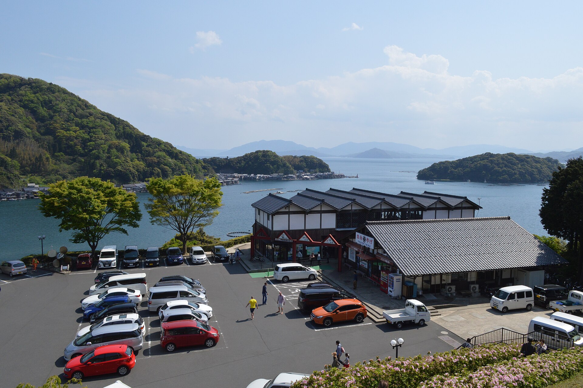
Recorded capture month: Oct · Historical photo, not a live view
AUTUMN · Oct
Weather for your date
Today shows live hourly weather. Future dates show the best available report.
19°C
Overcast
💧 41% rain chance · wind 16 km/h
Hourly forecast
Forecast: Open-Meteo
Packing checklist
No tips added for this spot yet.
Parking
Nearby public parking (OpenStreetMap)
NEARBY
· 6 min walk
Vehicle height not verified
Community-mapped nearby parking. Capacity, fees, hours and vehicle limits are not verified; check signs on arrival.
Parking source ↗Leave the start blank to choose your current location in Google Maps. The pin is an approximate landmark; check the entrance and live services in Maps.
A DIFFERENT JAPAN, EVERY MONTH
Typical viewing windows. Weather and bloom dates vary each year; these are not live forecasts.
Cooler air often improves distant visibility across Ine Bay; foliage is secondary to the boat-house panorama.
Tourism source ↗The observatory remains a useful overview in every season, subject to road and facility conditions.
Tourism source ↗Suitability
Stroller: Accessible
Nursing room: Not verified
Noise level: moderate
Kids: Keep children behind viewpoint barriers and use marked pedestrian routes through the parking area.
Rules
Fire: no fire
Water access: ocean
Drones: banned
Within 30 km, closest first.
Around 230 funaya line Ine Bay, with boat storage at water level and working or living space above. This is a living fishing community rather than an open-air museum, so visitors should stay on public routes or join an authorized tour.
Kyoto Prefectural Retreat Center Campsite in Kyoto, prepared with map position, photo, accessibility notes and a month-based planning window.
Place information: Official tourism source · Reviewed 2026-09-27