CITY🌙 Night & Illumination
Evening city lights
Visit after dark for the illuminated canal-side streets. Individual venues set their own hours.
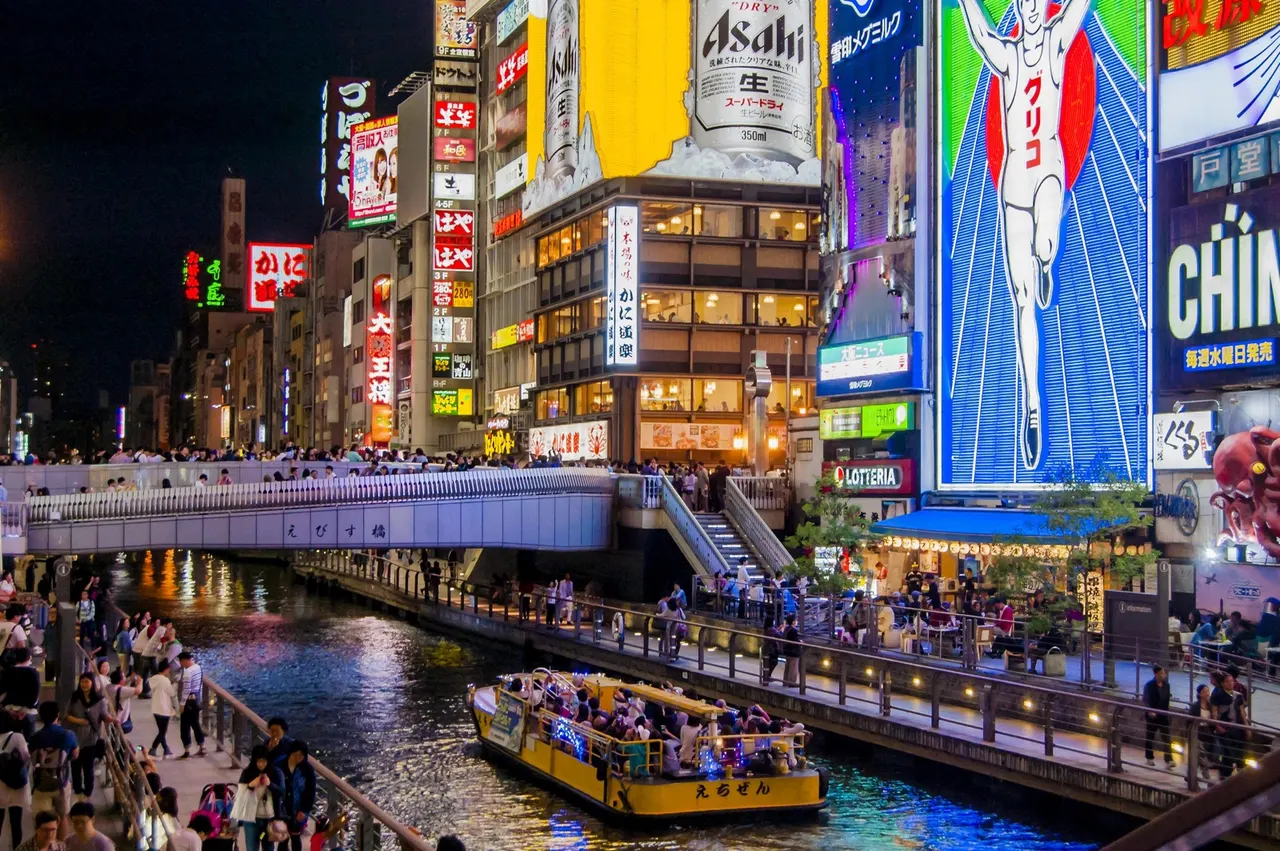
Bright signs, food shops and canal-side walkways make Dotonbori one of Osaka’s distinctive urban scenes. Explore the streets around the bridges for a lively evening walk.
Before travel or when you arrive, check live space availability and confirmed rates via Google Maps.
Send this place via WhatsApp, X, Facebook, Line, or copy direct link.
📷 Type specimen · CC BY-SA 3.0 · Source
Weather for your date
Today shows live hourly weather. Future dates show the best available report.
9°C
Clear sky
💧 0% rain chance · wind 14 km/h
Hourly forecast
Forecast: Open-Meteo
Packing checklist
🚉Ōsaka Namba Station
Approx. 0.4 km from spot
🚶~5 min walk
Easy walking distance from station
💳Mobile Suica / IC Cards
Tap phone at ticket gates (No cash needed)
Leave the start blank to choose your current location in Google Maps. The pin is an approximate landmark; check the entrance and live services in Maps.
Typical viewing windows. Weather and bloom dates vary each year; these are not live forecasts.
Visit after dark for the illuminated canal-side streets. Individual venues set their own hours.
Suitability
Stroller: Not verified
Nursing room: Not verified
Noise level: lively
Kids: Dense crowds and waterside edges; keep children close.
Rules
Within 30 km, closest first.
 Osaka
A covered food market in central Osaka known for seafood, produce, snacks and small restaurants.
 Osaka
About 4 km of the trees along Midosuji, between Hanshin-mae and Namba-nishiguchi, are lit every winter. In 2026 the lights are on from 3 November to 31 December, from about 17:00 until 1:00.
 Osaka
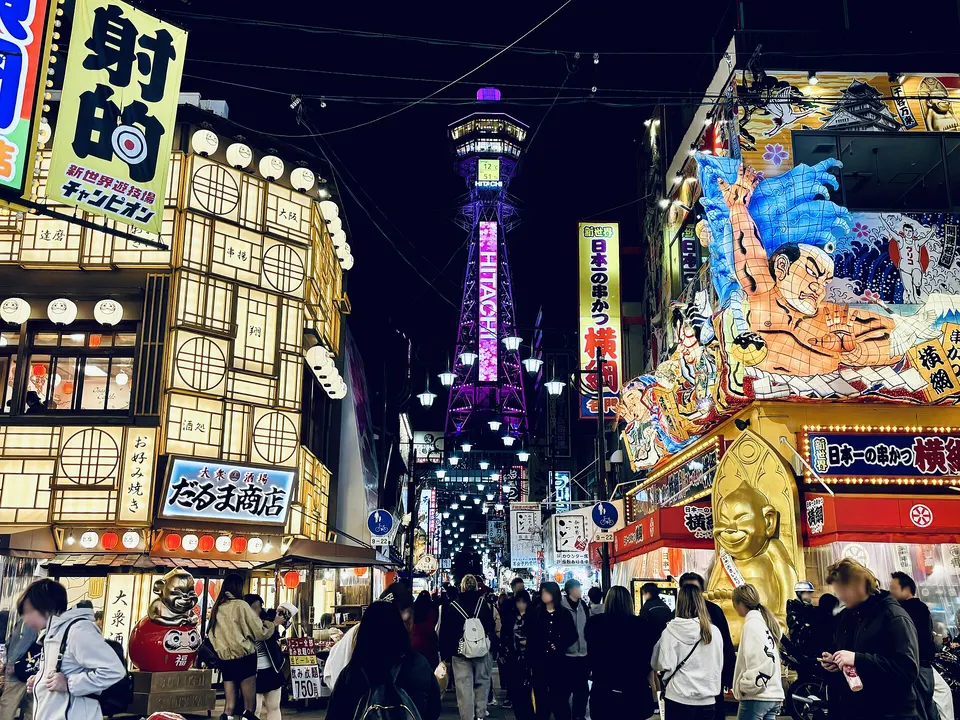
Shinsekai and Tsutenkaku in Osaka, with access, map location and seasonal planning data for international visitors.
 Osaka
An ancient Buddhist temple complex with a five-storey pagoda, gates and a peaceful garden near Tennoji.
 Osaka
A river island of museums, historic civic architecture, rose gardens and evening waterfront walks in central Osaka.
 Osaka
A high-rise observatory above Tennoji with wide views over Osaka and, on clear days, toward surrounding mountains and the bay.
 Osaka
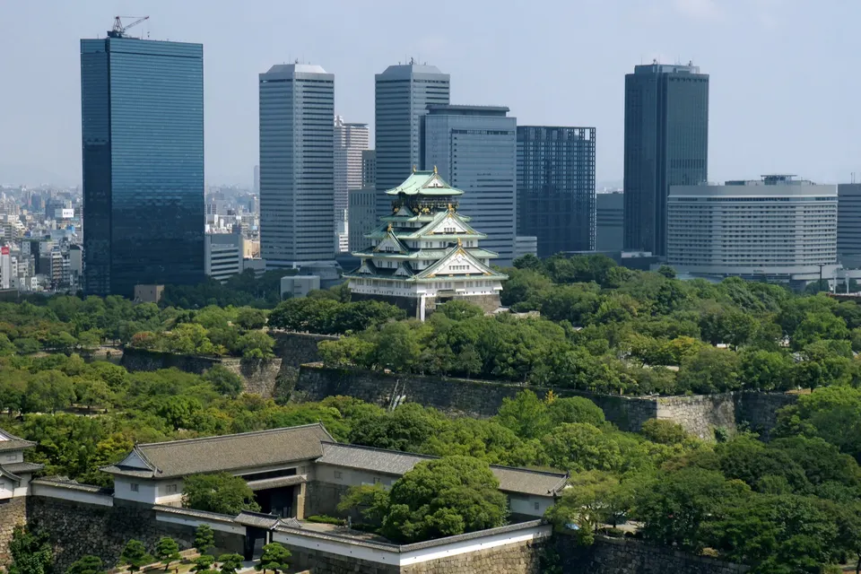
Osaka Castle rises above broad parkland and moats. Explore its exterior and surrounding grounds, then visit the museum inside for the history associated with Toyotomi Hideyoshi.
 Osaka
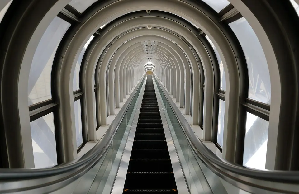
Two towers joined by the Floating Garden Observatory create one of Osaka’s most recognizable modern landmarks. Glass escalators cross the central void, while indoor and open-air decks look across Umeda toward the city, river and distant mountains.
Place information: Official tourism source · Reviewed 2026-09-16