YEAR_ROUND☀️ Daytime
Year-round visitor highlight
Opening hours, visibility and seasonal conditions vary; confirm the official notice before travel.
A glass-floor and observation walkway beneath the bridge deck with views across the Akashi Strait toward Awaji Island.
Before travel or when you arrive, check live space availability and confirmed rates via Google Maps.
Send this place via WhatsApp, X, Facebook, Line, or copy direct link.

📷 そらみみ · CC BY-SA 4.0 · Source
Weather for your date
Today shows live hourly weather. Future dates show the best available report.
9°C
Clear sky
💧 0% rain chance · wind 19 km/h
Hourly forecast
Forecast: Open-Meteo
🚉Maiko Station
Approx. 0.3 km from spot
🚶~4 min walk
Easy walking distance from station
💳Mobile Suica / IC Cards
Tap phone at ticket gates (No cash needed)
Leave the start blank to choose your current location in Google Maps. The pin is an approximate landmark; check the entrance and live services in Maps.
Typical viewing windows. Weather and bloom dates vary each year; these are not live forecasts.
Opening hours, visibility and seasonal conditions vary; confirm the official notice before travel.
Suitability
Stroller: Not recommended
Nursing room: Not available
Noise level: moderate
Kids: Terrain, steps, seasonal roads, weather and opening rules vary; check the official source before travel.
Rules
Fire: no fire
Water access: ocean
Drones: banned
Within 30 km, closest first.
 Hyogo
A waterfront shopping and dining district with harbour promenades and illuminated evening views.
 Hyogo
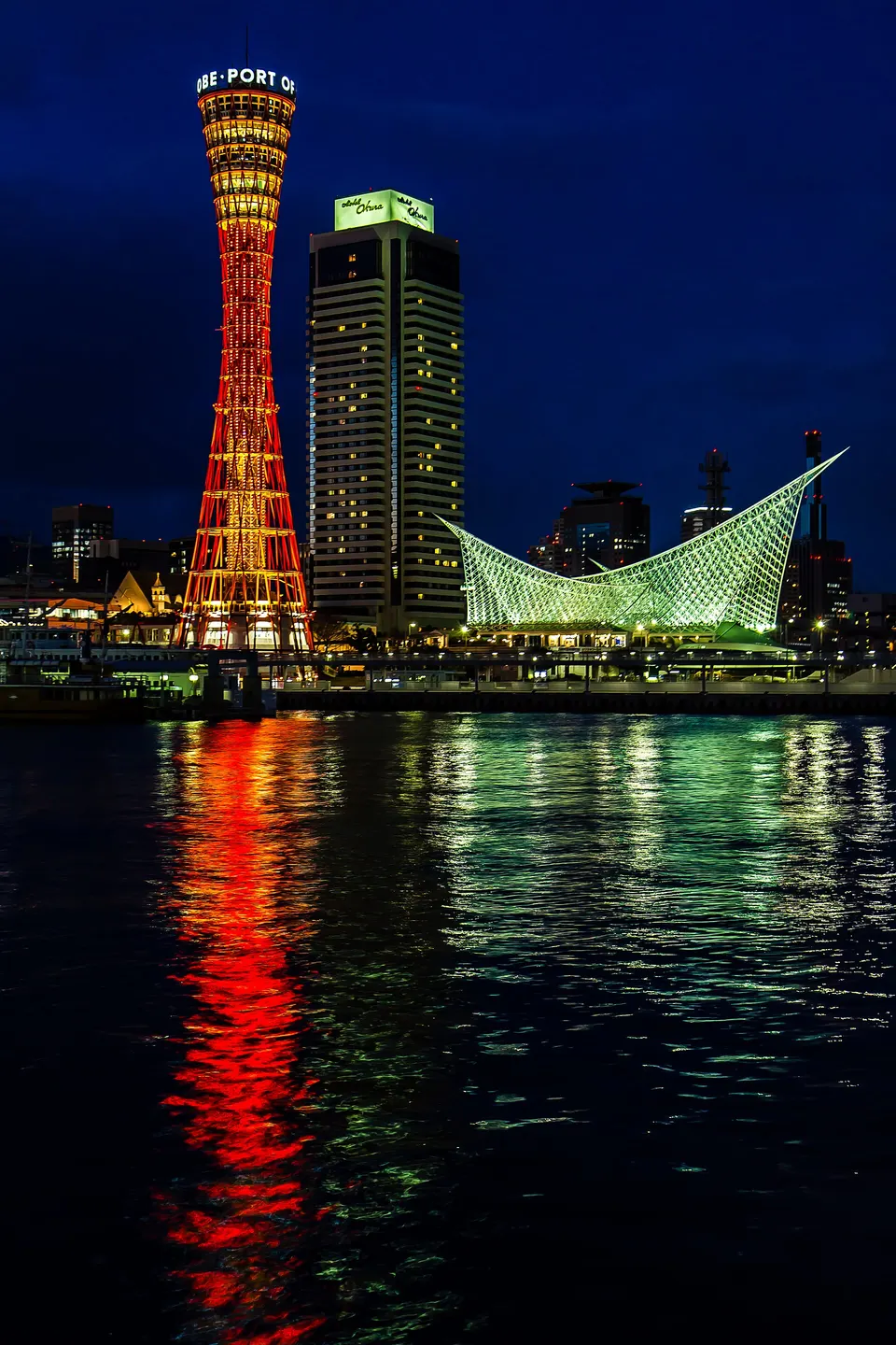
Kobe’s harbourfront park brings together Kobe Port Tower, the sail-shaped Maritime Museum, the BE KOBE monument, memorial displays and broad waterfront walks. After dark the tower and museum form the city’s best-known illuminated harbour composition.
 Hyogo
Kobe’s red lattice harbour landmark offers observation floors above Meriken Park and the city waterfront.
 Hyogo
A compact Chinatown of food stalls, restaurants, gates and seasonal celebrations near Motomachi.
 Hyogo
Light sculptures held since 1995 in memory of the victims of the Great Hanshin earthquake. The 32nd edition runs 29 January – 7 February 2027 at Meriken Park, Higashi Yuenchi and the former foreign settlement, lit from dusk to 21:30. Part of the Meriken Park site is paid (advance tickets ¥500 on weekdays, ¥750 at weekends).
 Hyogo
A hillside district of preserved Western-style residences built by overseas merchants after Kobe port opened.
 Hyogo
A ropeway climbs from Shin-Kobe to hillside gardens with seasonal flowers and panoramic city-and-bay views.
 Hyogo
A series of forest waterfalls immediately behind Shin-Kobe Station, reached by a stepped walking trail.
Place information: Official tourism source · Reviewed 2026-10-04