見どころを巡る
日中の見学の目安です。お出かけ前に、運営者の営業日とアクセス情報をご確認ください。
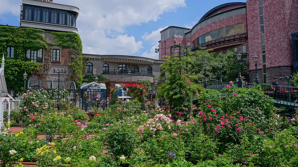
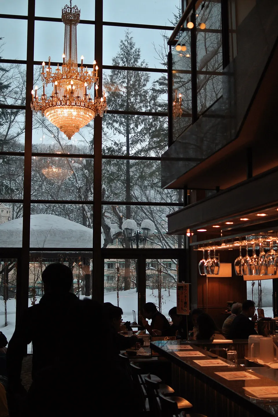
観光情報の出典 ↗小樽運河沿いにはかつての倉庫が並び、港町として栄えた歴史を今に伝えています。運河沿いはコンパクトで、ゆっくり散歩しながら建物の写真を撮るのに向いています。

Capture month unconfirmed · Historical photo, not a live view
秋 · 10月
Weather for your date
Today shows live hourly weather. Future dates show the best available report.
18°C
Overcast
💧 6% rain chance · wind 15 km/h
Hourly forecast
Forecast: Open-Meteo
持ち物チェック
駐車場
Nearby public parking (OpenStreetMap)
NEARBY
· 1 min walk
車高制限は未確認
Community-mapped nearby parking. Capacity, fees, hours and vehicle limits are not verified; check signs on arrival.
駐車場情報の出典 ↗出発地を空欄にするとGoogle マップで現在地を選べます。ピンは目安です。入口や運行情報を確認してください。
毎月、違う日本に出会う
例年の見頃です。天候や開花日は毎年変わります。リアルタイム予報ではありません。
日中の見学の目安です。お出かけ前に、運営者の営業日とアクセス情報をご確認ください。
観光情報の出典 ↗利用しやすさ
ベビーカー: 未確認
授乳室: 未確認
騒音: 普通
子ども: Watch canal edges and icy winter surfaces.
ルール
Within 30 km, closest first.
観光地情報: 公式観光情報 · 確認日 2026-09-16